PREVIOUS RESEARCH
Modern exploration of the site began in 1863 with a brief visit by Félicien De Saulcy, who is generally credited with being the first to record the name, Khirbet al-Mukhayyat (De Saulcy 1865, I: 289-296). In the summer of 1901, Alois Musil was the first to explore Mukhayyat systematically, identifying the Churches of Lot, Procopius, Amos and Kasiseus. In addition he also created the first topographic plan of the site. Nelson Glueck visited Mukhayyat in 1932, comparing the well-preserved fortifications with those of the al-Mashhad fortress near ‘Ain Musa and el-Medeiyineh to the south. He is also credited with first identifying the rock cut gulley on the southern end of the site as a moat (Glueck 1935:110-111).
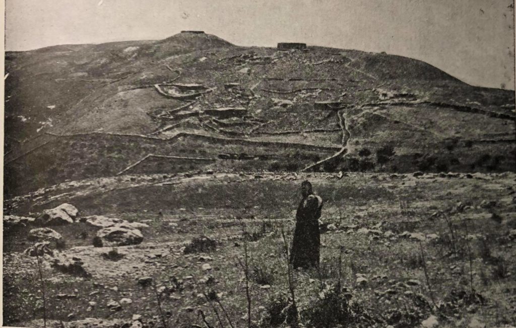
(J. Saller and Bagatti, 1982: Plate 1)
Much of our current understanding of Mukhayyat comes from the efforts of the Studium Biblicum Franciscanum. Systematic explorations by the Franciscan’s began in 1933 with Brother Jerome Mihaic’s work uncovering the mosaics in the Chapel of the Priest John on the eastern slope of the tell, and in the Church of Saint George on the acropolis. In the 1960s an expedition led by J. Ripamonti conducted excavations at Rujm al-Mukhayyat as well as a survey of the area that produced two Iron Age tombs (Saller 1966:165-298). Work continued in the early 1970s at Mukhayyat under the direction of Fr. Piccirillo. It was during this time that a comprehensive preservation and conservation program began that would involve all of the excavated mosaics and related architecture at the site. In the late 1980s and early 1990s this work continued with detailed excavations on the acropolis and surrounding area, resulting in the primary data that has afforded our current understanding of the occupational sequence at Mukhayyat (Saller 1966:165-298).
In 2000, a topographical survey of the mound and its vicinity was conducted by the Tell Madaba Archaeological Project. The following season consisted of an intensive surface collection of pottery. The results of these two seasons have largely shaped the current strategies of the renewed explorations at Mukhayyat.
HISTORICAL BACKGROUND
Khirbat al-Mukhayyat is generally accepted as the modern name of the ancient town of Nebo, mentioned first on the mid-ninth century bce monumental stele known as the Mesha Inscription (Dearman 1997: 207). Lines 14-18 indicate that Nebo was occupied by the Israelites during the early Iron IIB, when it housed a sanctuary to YHWH, and that the Moabite king Mesha was able to take this settlement and remove the Israelite cultic presence from the site (Routledge 2004: 135-136). Although the term Nebo is most often associated with Siyagha, or Mount Nebo, located 2.5 km northwest of Mukhayyat, the Mesha Inscription implies that ancient Nebo was in fact a settlement, most likely a small town. However, archaeological investigations at Mount Nebo have not uncovered any significant Iron Age occupation levels; thus, ancient Nebo must be associated with a nearby settlement containing prominent Iron Age remains. Mukhayyat appears to be the best candidate for such a settlement, as evidenced by the presence of considerable quantities of Iron Age material at the site collected during the 2000 and 2001 surveys by the Tell Madaba Archaeological Project. Additionally, the presence of Iron Age tombs in the vicinity of Mukhayyat has been documented and published by Saller and Bagatti (1982). A preliminary analysis of the pottery collected during the 2012 season indicates that Early Bronze Age levels are also present at the site.
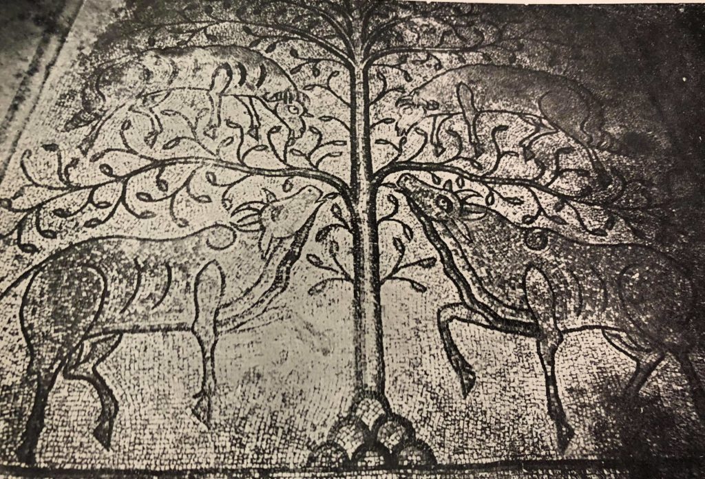
(J. Saller and Bagatti, 1982: Plate 39)
The Mesha Inscription points to a strong cultic function for the site. Indeed, Mukhayyat may have been at the centre of a sacred landscape that has its roots in much earlier periods. For example, a large stone circle dating to the Late Chalcolithic or Early Bronze I was documented by Conder during his survey east of the Jordan River (Conder 1889). This prominent feature highlights the importance of this area from an early time.
Apart from its possible role as the central focus of a sacred landscape, Mukhayyat also played an important role in monitoring movement from the Dead Sea and Jordan Valley to the Madaba Plains. Coupled with the impressive Rujm al-Mukhayyat, the site commanded an impressive position along the important east-west wadi systems that served as access points between the plain and the escarpment. As a result, Mukhayyat would have been crucial not only to local cultic activity, but also to the control of trade goods and population movements along certain key routes in northern Moab.
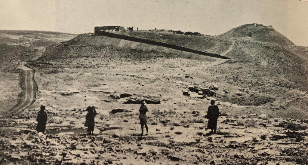
(J. Saller and Bagatti, 1982: Plate 2)
Apart from its association as the Nebo of the Mesha Inscription, Mukhayyat is perhaps best known for its cultural material dating to the Byzantine period. Specifically, the town housed a number of Byzantine churches and monasteries that catered to the growing influx of Christian pilgrims to the region during the sixth through eighth centuries. Monasteries serving the monks in and around Mukhayyat include the Monastery of al-Kanisah in the Wadi Afrit and the Church of St. George located on the top of the acropolis. The Monastery of al-Kanisah, dating to the mid-sixth century, is located east of the town of Mukhayyat, along the slope of the Wadi Afrit. This complex contained several tombs, a possible reliquary, and a variety of other installations, including a bedrock-carved wine press (Piccirillo 1998: 205-209). The Church of St. George, also dating to the mid-sixth century, had a square plan, an enclosed apse, and evidence of domestic activities in some parts of the complex (Michel 1998). As these and other Byzantine structures went out of use, the site appears to have been abandoned completely. Occupation at the site only resumed during the Late Ottoman period, sometime in the late nineteenth century, and this new settlement was confined to the northwestern part of the mound.